
World · Destin, Florida
Isaias weakens inland after Category 2 landfall in Florida Panhandle; flooding threat shifts to Appalachians
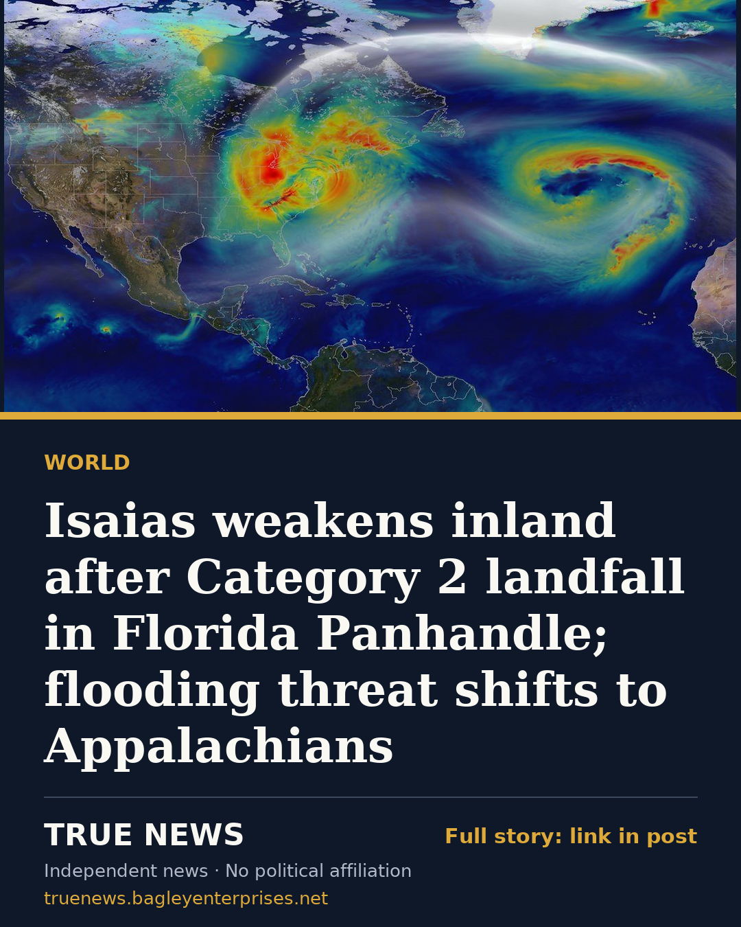
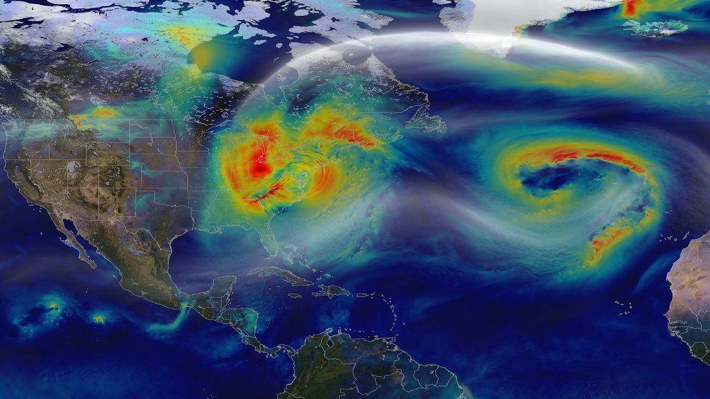
Isaias has weakened to a post-tropical cyclone after striking the Florida Panhandle as a strong Category 2 hurricane, but forecasters warn that heavy rain could still cause serious flooding from the Southeast into the southern Appalachians, WPBF 25 reported.
According to WPBF 25, the storm came ashore near Destin, Florida, at about 9:30 p.m. Friday and lost strength overnight as it pushed inland across Alabama. By 11 p.m. EDT Saturday, the system had top sustained winds of 25 mph and was located roughly 75 miles west of Nashville, Tennessee, heading northeast at 16 mph, the station reported, citing the National Weather Service.
The National Hurricane Center ended its advisories at 5 a.m. Saturday and passed tracking duties to the weather service, WPBF 25 said. Forecasters expect the system to speed up toward the northeast on Sunday and hold roughly steady in strength for a day or more before merging with another low pressure system.
The weather service warned of possible flash, urban and river flooding, along with landslides in the southern Appalachians, according to WPBF 25. Rain totals of 2 to 5 inches, and up to 10 inches in spots, were possible from the western Carolinas into western Virginia. Parts of Northwest Florida and the Big Bend could see another 1 to 2 inches, pushing some storm totals near 12 inches, and rivers in the western Panhandle were expected to crest through Sunday.
WPBF 25 also reported several tornadoes in eastern Georgia on Saturday afternoon. Flood watches, a high wind warning and wind advisories were posted across parts of the region, and swells were expected to produce dangerous surf and rip currents along Gulf coastlines in the U.S., Mexico and western Cuba.
In southeast Alabama, a Dale County sheriff's deputy was hurt Friday night while responding to storm damage, according to a Gray News report from WSFA and WTVY carried by WALB and other stations. Sheriff Mason Bynum said deputies were at a crash scene on U.S. Highway 231 in Newton, where vehicles had struck a fallen tree, when a second tree came down. It hit a deputy and pinned a driver inside a vehicle.
Bynum described the deputy's injuries as minor, the report said. The deputy was taken to a hospital, and the driver was freed and is OK, according to the sheriff. Bynum said many trees were down in the county.
"It's a very dangerous situation, very fluid situation. We just urge people to please stay off the roadways right now," Bynum said, as reported by WALB.
Isaias is the ninth named storm of the 2026 Atlantic season. WPBF 25 reported that when it reached hurricane strength late Wednesday, it became the latest-forming first hurricane of a season on record, surpassing an unnamed 1905 storm that became a hurricane on Oct. 7.
Compiled by True News from reporting by WPBF 25, Alaska's News Source, AZFamily and WALB. Each outlet's original story is linked below.
Sources
- Isaias weakens as post-tropical cyclone after landfall in Northwest Florida (WPBF 25)
- Deputy injured by falling tree during Hurricane Isaias response (Alaska's News Source)
- Deputy injured by falling tree during Hurricane Isaias response (AZFamily)
- Deputy injured by falling tree during Hurricane Isaias response (WALB)
Get stories like this every morning
The True News daily briefing: who's funding your officials, the economy in plain numbers, missing persons and community stories. Free, one email a day, unsubscribe in one click.