
Community · Philadelphia, PA
Isaias remnants bring a day of steady rain and gusty winds to the Philadelphia region
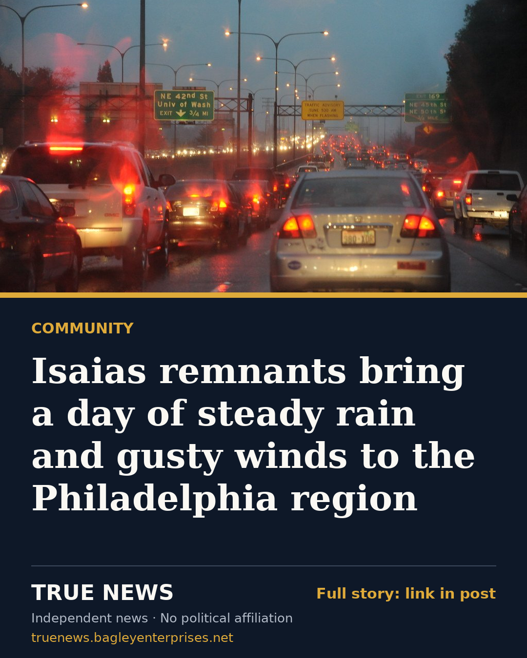
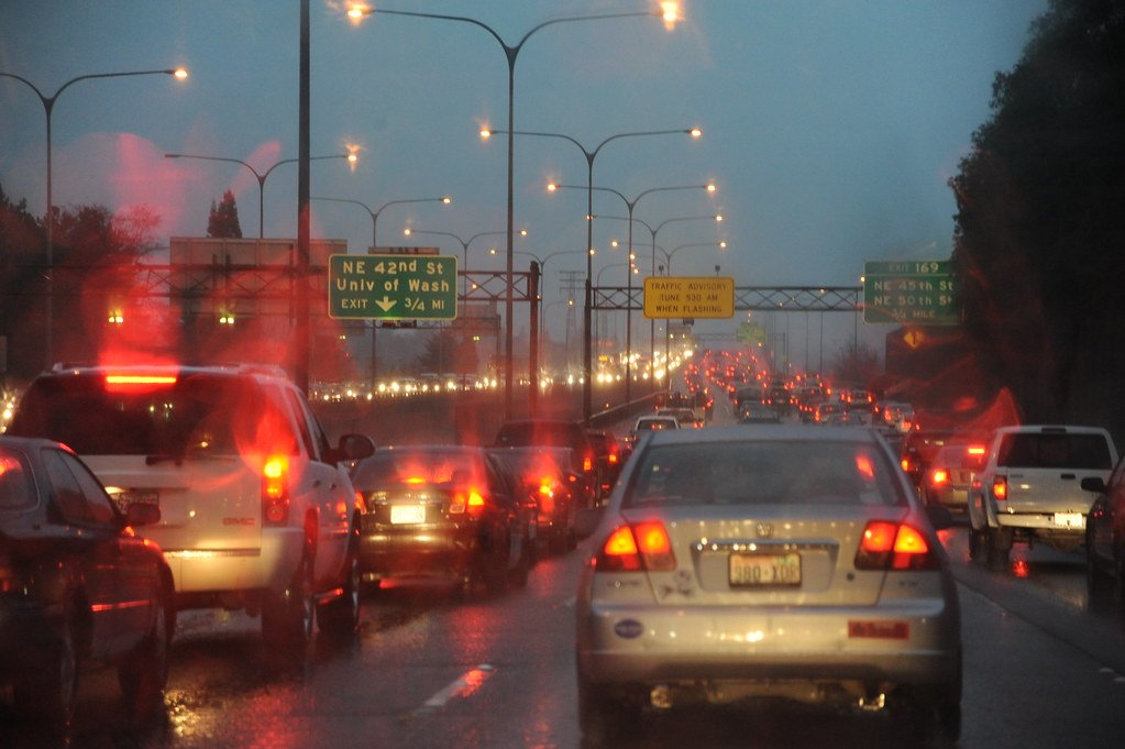
The leftovers of Hurricane Isaias were moving across the Philadelphia region on Sunday, bringing widespread rain, gusty winds and the chance of thunderstorms, according to local forecasters.
The storm has lost its tropical characteristics, CBS Philadelphia reported, but was still expected to bring heavy rain and some risk of flooding. NBC10 issued a First Alert for Sunday.
The Philadelphia Inquirer reported that the National Weather Service in Mount Holly had put the chance of rain in Philadelphia on Sunday at 100% as of late Saturday afternoon, with 1 to 2 inches forecast. Because that rain was expected to fall over many hours, forecasters said the flooding threat appeared limited.
"It looks pretty much like a washout on Sunday," weather service meteorologist Eric Hoeflich told the Inquirer. He added that the rain should come down over a long enough stretch that forecasters were not especially worried about flooding.
The outlets differed somewhat in emphasis. CBS Philadelphia highlighted flooding risks, while the Inquirer reported that the weather service expected only possible minor tidal flooding along the Delaware Bay and no river flooding. Hoeflich described the storm to the Inquirer as likely to be a beneficial rain.
NBC10 forecast wind gusts of up to 30 mph across the region and up to 40 mph near the coast. The station said severe weather was unlikely overall, but that gusty storms could develop in the afternoon and evening, mainly in Delaware and southern New Jersey. Temperatures were expected to stay in the 60s on Sunday.
Both NBC10 and the Inquirer said a break in the rain was possible later Sunday afternoon, followed by more showers and possible thunderstorms in the evening. The weather service told the Inquirer that storms were likely before 1 a.m., with an additional half inch to three-quarters of an inch of rain possible.
A few showers could linger Monday morning, but forecasters expected the region to dry out quickly. NBC10 said the rain should clear by around noon Monday, with temperatures returning to the 70s, a sunny workweek and highs in the 80s by Wednesday. The station said cooler temperatures could return late in the week, with more showers possible Friday.
Philadelphia's Office of Emergency Management said Saturday that it would track the storm in real time and send updates through its ReadyPhiladelphia alert program, NBC10 reported. Residents can sign up by texting READYPHILA to 888777.
Compiled by True News from reporting by CBS Philadelphia, NBC10 Philadelphia and The Philadelphia Inquirer. Each outlet's original story is linked below.
Sources
- Isaias' remnants bringing heavy rain, flooding risks to Philadelphia area today | NEXT Weather (CBS Philadelphia)
- Live updates as Isaias brings heavy rain, wind and tornado risk to Philly region (NBC10 Philadelphia)
- It’s becoming clearer what Isaias will bring to Philly: a lot of rain, but spread over time (The Philadelphia Inquirer)
Get stories like this every morning
The True News daily briefing: who's funding your officials, the economy in plain numbers, missing persons and community stories. Free, one email a day, unsubscribe in one click.